Throughout the world, increasing numbers of urban areas are planning or evolving the Smart City concept. It should perhaps be better titled Smart Community, as not all early adopters are city-centric.
What do we mean by “Smart” city? It covers a wide range of visions and strategies for improving a geographical area. Making it a better place to live, work or visit. Smart City concepts harness the power of technology – particularly Big Data – to collect and use information. This helps to inform, plan and implement change, including making better use of resources and assets. In many cases, it is also bound up in applying data to improve social polarity too. It always works to engage community buy-in.
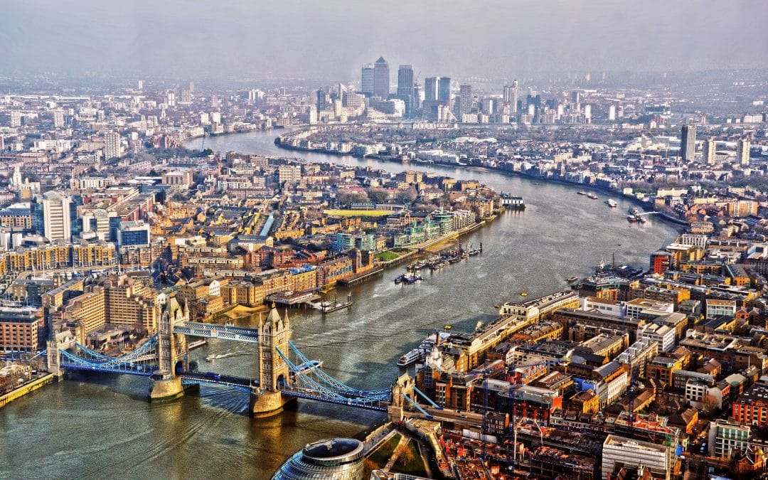
Among the first to join the Smart City movement were Singapore, Barcelona, London, San Francisco, and Oslo. Many other urban destinations are now joining the ranks.
One of the most unifying factors of Smart City concepts is their use of Business Information Modelling techniques to plan change. This makes them the perfect illustration of BIM’s fast-growing significance for all forms of innovation and growth.
Business Information Modelling for improved living
Since April 2016, all Government construction projects in the UK have been rooted in Business Information Modelling Level 2 techniques.
However, perhaps the most vivid application of BIM is when it is harnessed for CAD applications, to reach the goals of the Smart City movement. After all, these initiatives are seeking to bring sweeping changes in often densely populated areas with infrastructure that has grown over many decades.
In the face of such a challenge, the Smart City movement is seeking ways to better manage resources and create sustainable transport. It must be achieved alongside controlling environmental impact and avoiding waste.
Illustration of BIM in action
A good example of the value of BIM for such complex situations is the construction of the Crossrail line in England’s South East. Its 118-kilometre span included numerous new tunnels, and creating this new infrastructure meant drilling literally centimetres from London’s underground tunnels. This was made possible by using advanced BIM techniques.
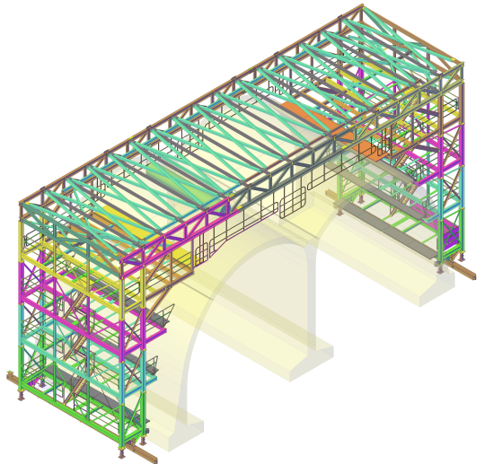
BIM, in tandem with CAD applications, makes it possible to measure and map the environment and infrastructure with pin-point accuracy, thanks to geo-referencing. Every fibre optic cable, gas pipe, sewerage line, drainage access, pavement and bridge can be mapped into one immersive model for all involved parties to share and work on.
By using a 3D geographic information system for CAD applications, you can model, design, edit and analyse the above ground landscape too. It can even factor in such subtleties as light quality and lines of sight.
Much of the value comes from far greater opportunities for remote collaboration and unity of approach. With everyone working with the same information and standards.
Scalable for many commercial applications
If BIM techniques can map, reconfigure and plan projects to transform whole city landscapes – and help to bring massive social change – just imagine what they could do for your organisation.
It could not only help you to manage your existing physical footprint and processes, but it can also provide a window into ways to transform them. BIM and CAD could provide ideas for how to better integrate all resources, including staff, into a more agile way of working.
Improved resource management and waste reduction – by the checks and controls provided by BIM – could save you far more money than you invested in the software.
This is also scalable technology, with limitless possibilities for business improvement and growth. Wherever you are now in your business evolution.
To discuss how BIM and CAD can bring lasting benefits to your organisation, or to chat about Smart City projects, contact Restoric Design on 01462 514 300. Alternatively, subscribe to our email newsletter to stay one step ahead with CAD news and innovations.


